Situated away in the quiet town of Stow, Maine, Blueberry Mountain offers a hike that feels like a little escape from the noise of the world. This four-mile out-and-back trail climbs 1,190 feet, leading you through dense forest before opening up to sweeping views. Depending on the season, wildflowers may line the path, adding unexpected pops of color along the way.
It’s a dog-friendly trail, so if you have a four-legged hiking buddy, they’re welcome to join, just be sure to keep them leashed. Whether you’re craving crisp mountain air, a bit of a challenge, or simply the peace that comes with being fully surrounded by nature, this hike delivers.
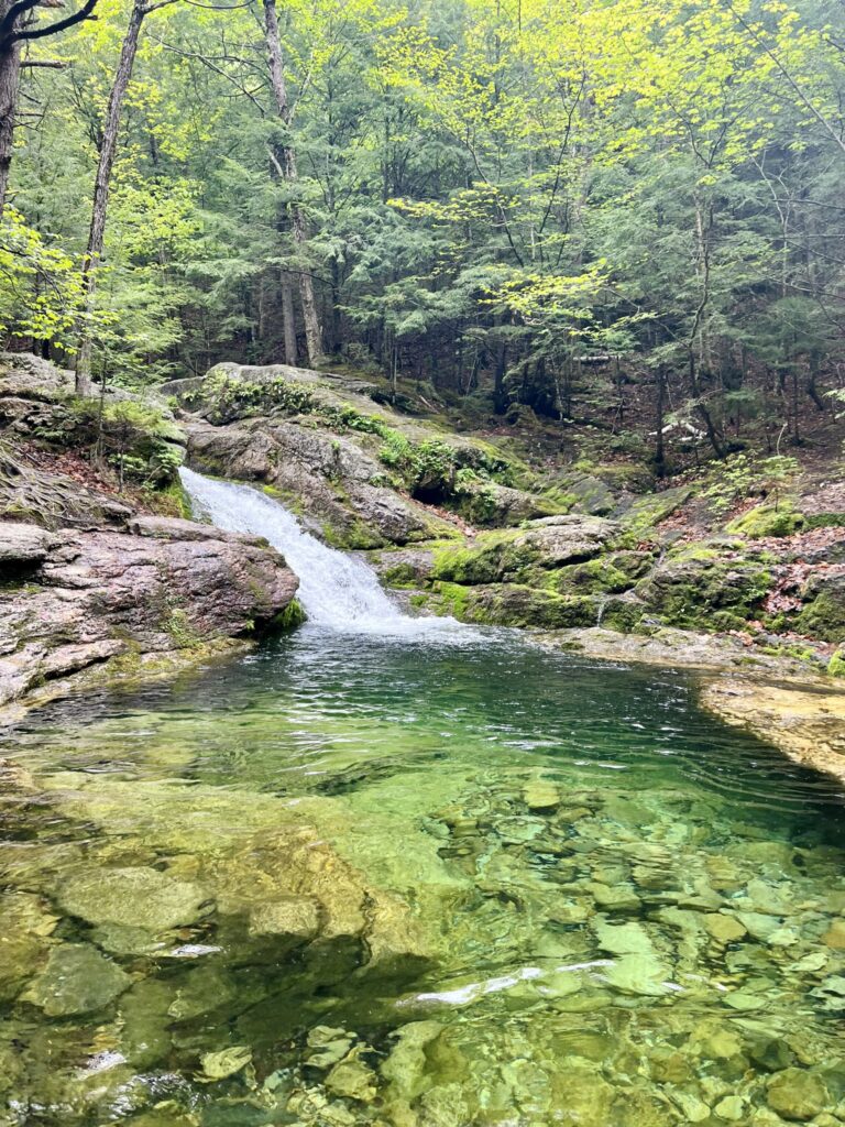
There are multiple routes to the summit, but it’s important to note that the trails cross private land. With a little respect for both the landowners and the environment, we can all continue enjoying this quiet corner of Maine. For our hike, we climbed via the White Cairn Trail and descended along the Stone House Trail, making a necessary stop at the breathtaking Rattlesnake Pool. A crystal-clear, emerald swimming hole tucked deep in the woods. It’s the kind of place that makes you stop, take a deep breath, and wonder how something this beautiful can feel like such a secret. Trust me, you won’t want to miss it.

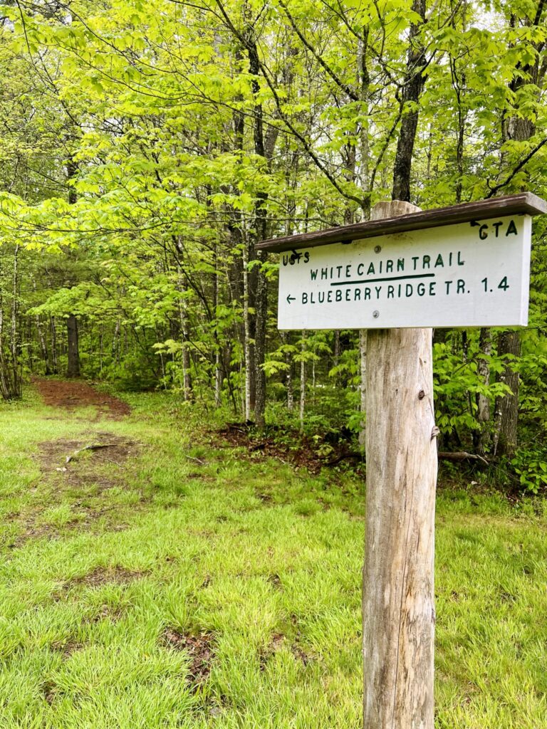
Finding the trailhead wasn’t as straightforward as we expected, but with a little help from AllTrails, we made our way without much trouble. The parking lot was nearly empty when we arrived, a promising sign for a quiet morning on the trail. With fog and scattered showers in the forecast, we hesitated for a moment, wondering if we should wait it out. But in the end, we chose to embrace whatever the day had in store, hoping the clouds would lift by the time we reached the summit.
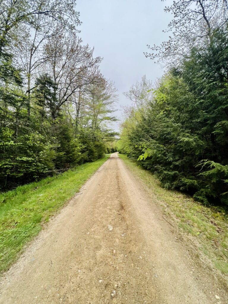
Unlike many hikes that begin right from the parking lot, this one required a short walk down a dirt road beyond the Stone House trail gate before we even reached the White Cairn Trailhead. It felt like a slow introduction, a moment to transition from the outside world into something quieter, wilder. And once we stepped onto the actual trail, the real journey began.
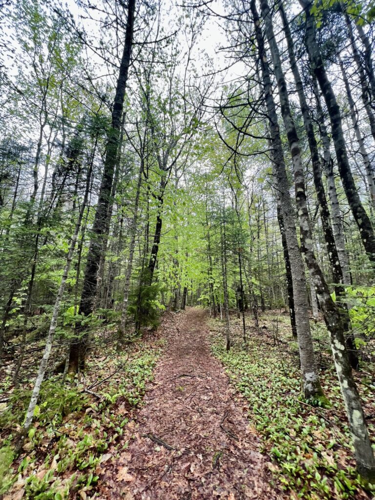

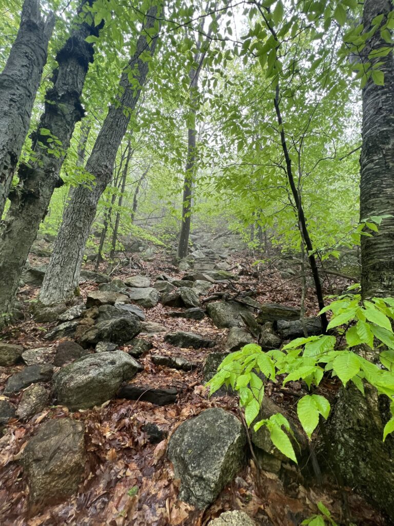
The moment we stepped into the woods, we were met with an unwelcome greeting, a relentless swarm of mosquitoes. The damp, foggy air had created perfect conditions for them, and it quickly became clear they’d be our unwelcome trail companions. Still, despite the buzzing nuisance, there was something invigorating about being surrounded by a forest shaking off the last remnants of winter. The earth was soft beneath our boots, layered in damp leaves, while bright green ferns and moss clung to rocks and tree trunks, eager to soak in the season’s renewal.
The trail, slick with moisture, demanded attention. Mud clung to our soles, and fallen leaves made certain sections more treacherous than expected, but nothing we couldn’t handle with a little focus. This was my first “big” hike of the season, and I could feel it. As the incline steepened, my breath quickened, my legs reminding me that winter had been long and still.
The air hung thick with humidity, but the overcast sky offered a reprieve from the heat. In a way, I welcomed the fog, it kept the temperature comfortable, allowing me to focus on the rhythm of my steps rather than the burn in my muscles. Still, I couldn’t help but wonder what views were hidden beyond the mist. Would the summit reveal anything at all? A flicker of disappointment crept in, but I let it go. Instead, I focused on what was in front of me. The crunch of my boots against the earth, quiet conversation with my friend, the simple contentment of moving forward. Hiking has always had a way of clearing my mind, and today was no different. No matter what waited at the top, the journey itself was enough.
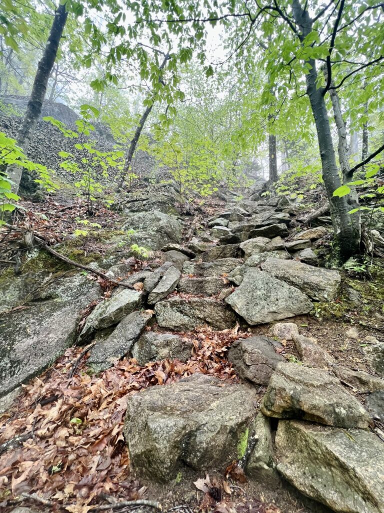
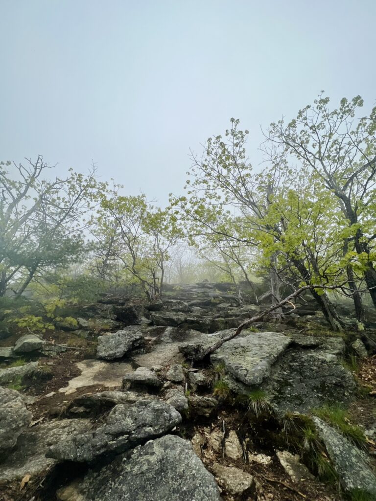

The higher we climbed, the more the trail demanded of us. Steep sections of exposed rock replaced the dirt path, forcing us to rely on both hands and feet to navigate the ascent. I used to find rock scrambling intimidating, the uncertainty of each foothold, the need to trust my balance, but with every hike, I’ve learned to embrace it. Now, I welcome the challenge. There’s something deeply satisfying about using both strength and strategy to move upward, like solving a puzzle carved by nature. Each boulder we scaled felt like another small victory, making the journey to the summit all the more rewarding.
As we neared the top, the air around us began to shift. The thick fog that had enveloped the trail all morning swirled and danced, revealing fleeting glimpses of the landscape. A treetop here, a stretch of rocky ledge there, just enough to tease us with what lay beyond. We had hoped for sweeping views, but instead, we found ourselves immersed in something else entirely. The way the mist clung to the mountain, drifting and dissolving with the breeze, gave the summit an eerie, almost mystical presence. Even without clear views, the moment felt special, as if we had stepped into a hidden world, known only to those willing to climb through the clouds.
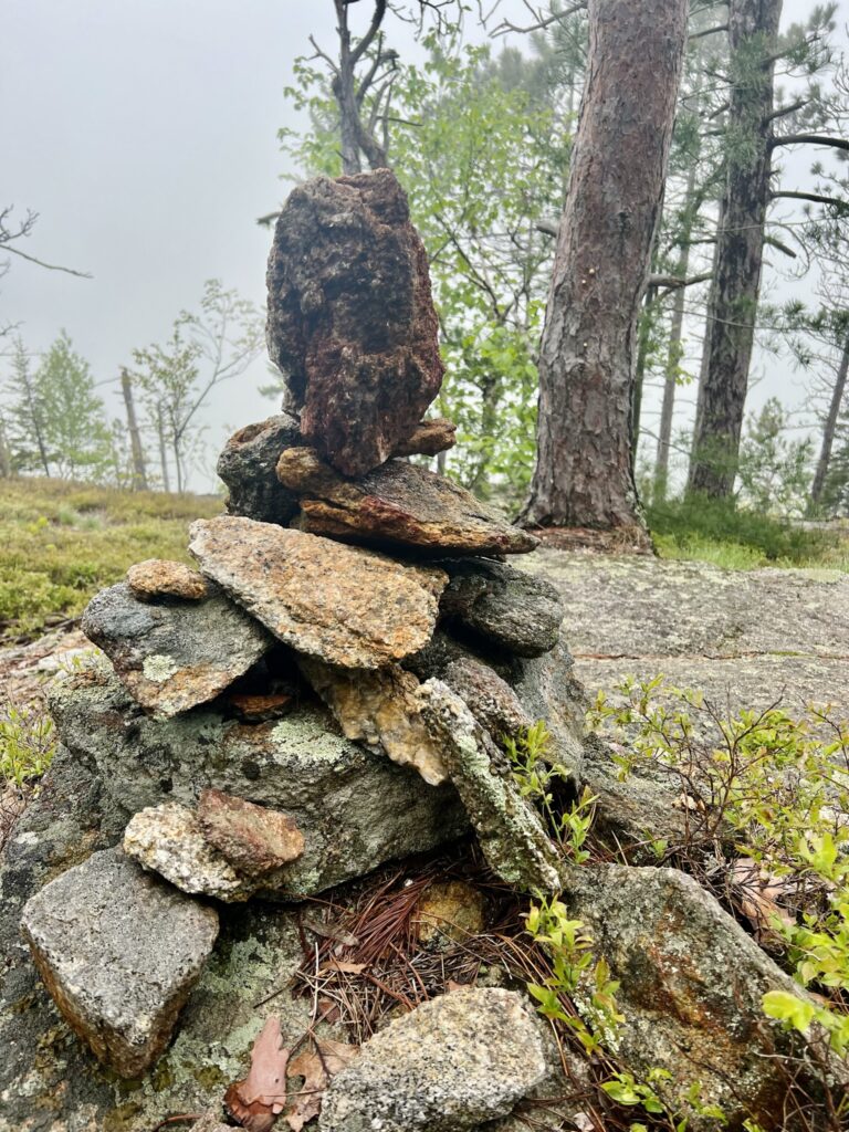

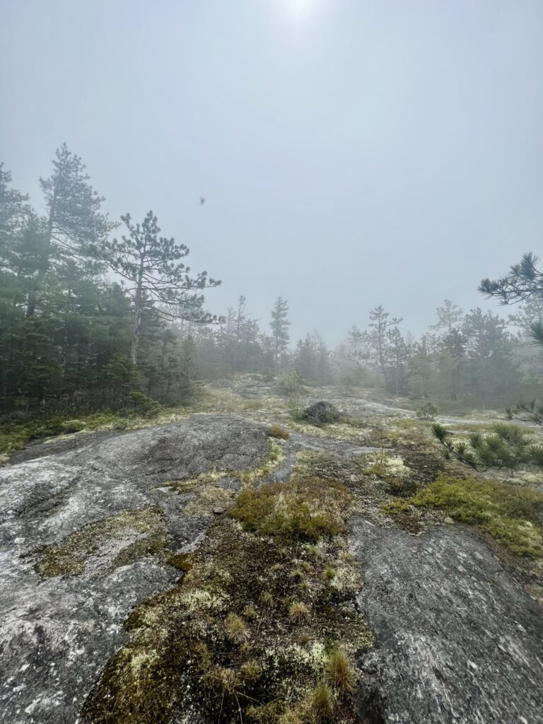
By the time we reached the summit, we were sweaty, speckled with mosquito bites, and feeling the familiar ache of a good climb in our legs. The fog still clung stubbornly to the landscape, softening the horizon and blurring the distant peaks we had hoped to see. It wasn’t the grand, sweeping view we had envisioned, but standing there, breathing in the crisp mountain air, it didn’t feel like a disappointment. The journey itself had been enough.
We settled onto the rocky ledge, letting exhaustion melt away as we took in the quiet beauty of the mountaintop. For nearly half an hour, we sat there, chatting, snapping photos, and simply existing in the moment. The stillness was peaceful, the kind that only comes from being high above the world, surrounded by nothing but nature. Every so often, a breeze would stir the fog, teasing us with glimpses of the valley below. And then, just as we were beginning to pack up, the sun began to break through, casting a soft glow over the peak. The sky, once hidden behind thick mist, slowly revealed delicate hints of blue. It wasn’t the full, unobstructed view we had imagined, but in a way, that made it even more magical. An unexpected reward for the effort we had put in.
With one last deep breath of mountain air, we began our descent. The hardest part of the hike was behind us, and from here on out, it was all downhill. Literally and figuratively.
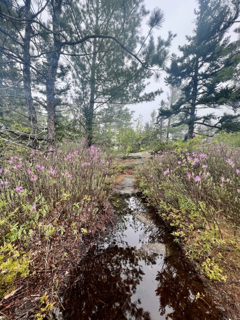
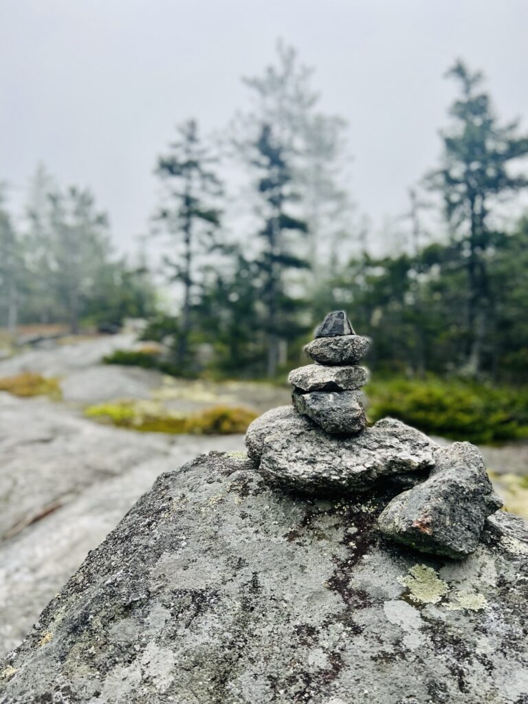
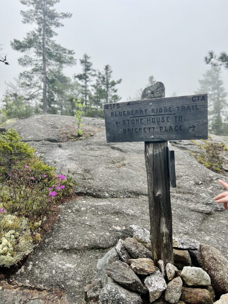
To reach the Stone House Trail, we stepped past the summit’s modest rock pile and into a wide, open expanse where the land briefly leveled out. Smooth stones lay scattered across the terrain, shallow puddles reflected the shifting sky, and bursts of vibrant pink flowers began to bloom. Small but striking against the muted backdrop of fog and rock. The air felt different here, lighter, as if the mountain itself was exhaling.
Weathered signs pointed us in the right direction, marking the path for our descent. Up until now, we had enjoyed complete solitude on the trail, the only sounds being the crunch of our boots and the occasional rustle of wind through the trees. But at the summit, we finally crossed paths with other hikers, groups making their way up from the opposite direction. There was an unspoken camaraderie in those brief encounters, a quiet acknowledgment of the journey we were all on.
With Rattlesnake Pool waiting for us at the end, we picked up our pace, anticipation replacing exhaustion. The thought of cool, emerald water was all the motivation we needed as we made our way down the winding path, ready for whatever beauty the trail had left to offer.
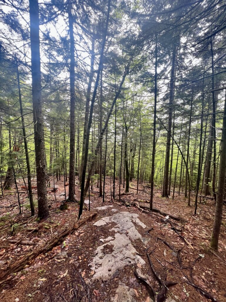
As we descended along the Stone House Trail, the hike took on an entirely different energy. The steep, demanding climb was behind us, replaced by an easy, rhythmic stroll through the forest. The trail widened, allowing us to relax and take in our surroundings. The towering trees, the occasional burst of wildflowers, and the way sunlight filtered softly through the canopy. Despite the tranquility, the mosquitoes remained relentless, determined to accompany us all the way down.
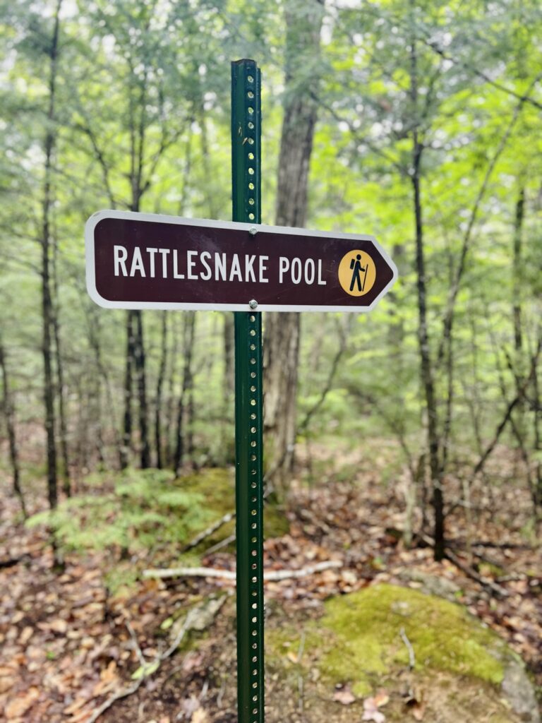
Before long, we spotted a sign for Rattlesnake Pool, a welcome marker signaling the final stretch of our journey. Turning left onto the short spur trail, anticipation built with each step. I had seen countless photos of the pool before, but nothing compared to experiencing its beauty in person.
The water was impossibly clear, shimmering in hues of emerald green so vivid it looked almost unreal. Sunlight danced through the trees, casting shifting reflections on the surface, while a gentle waterfall tumbled into the pool, sending ripples gliding across the rocks. The entire scene felt untouched, like a hidden fairytale brought to life.
We perched on the smooth stones at the water’s edge, letting the moment sink in. The steady rush of the falls was the only sound, a soothing contrast to the persistent hum of mosquitoes that, unfortunately, had followed us here. As much as we wanted to linger, the swarming insects quickly made the decision for us. With one last glance at the breathtaking oasis, we pulled ourselves away and rejoined the trail, ready to bring our adventure to a close.

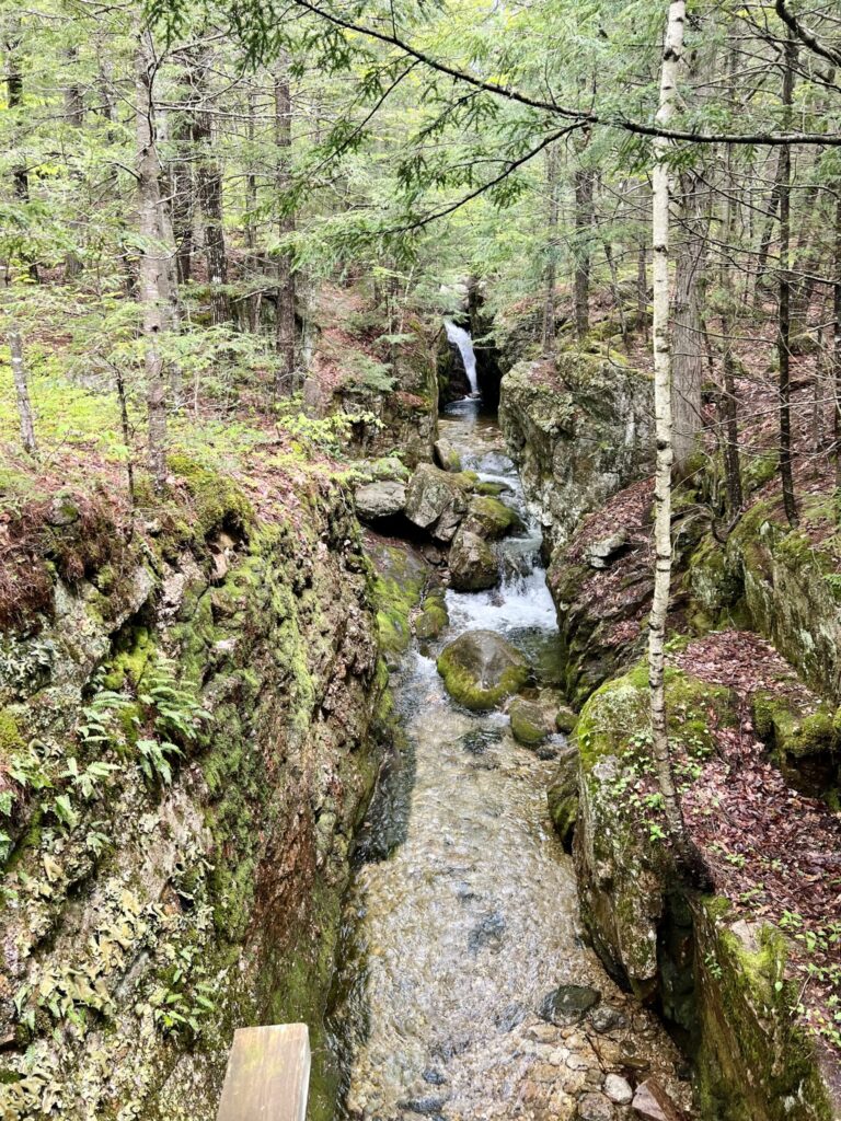
Not long after leaving Rattlesnake Pool behind, we noticed another sign pointing to a small side trail. It led to a wooden bridge spanning a narrow stream, where a delicate waterfall cascaded over the rocks below. Naturally, we couldn’t resist the detour. There’s something about these hidden gems, unexpected moments of beauty, that always pull me in.
Stepping onto the bridge, we paused to take it all in. The water tumbled gently over the rocks, its steady movement creating a soothing, rhythmic sound. The air felt cooler here, thick with the scent of damp earth and fresh pine. For a few moments, we just stood there, letting the peaceful energy of the place sink in. A quiet, reflective pause before the final stretch of our hike.
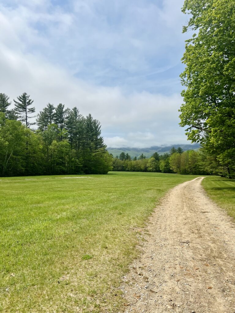
The last leg of the journey led us back to the familiar dirt road, guiding us toward the parking lot just as it had at the beginning. As we emerged from the tree line, an open field stretched before us, bathed in golden sunlight. The sky, which had been shrouded in fog for most of the day, was now a brilliant, cloudless blue. We may not have gotten the sweeping summit views we had hoped for, but there was something undeniably satisfying about ending the hike beneath a wide, open sky.
Reflections from the Trail
Blueberry Mountain was a trail of contrasts. From the foggy, challenging climb to the quiet serenity of the summit, and the unexpected beauty of Rattlesnake Pool. What stood out most was the unpredictability of it all. We set out hoping for grand views, but instead, we were met with a mysterious, mist-shrouded landscape that seemed to demand a deeper appreciation of the journey itself.
The mosquitoes may have been relentless, and the fog may have hidden the vistas we hoped to see, but there was something so grounding about the entire experience. The climb tested both my body and mind, and the quiet moments along the way offered space for reflection.
The trail reminded me that sometimes, it’s not the destination that matters most, but the process of getting there. The shifting emotions, the moments of peace, the surprising beauty tucked into quiet corners. These are the things that make each hike memorable. And while we may not always get what we expect, the unexpected can turn out to be even more meaningful.
All the photos featured in this blog post were taken by me, unless otherwise noted.
